


|
University of Padua IMAGE Department |
|
GIS |
|
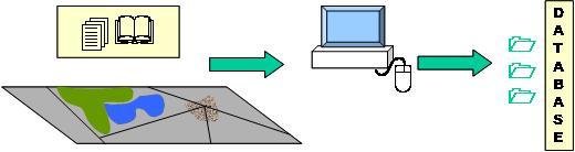
They are used for inputting, storing, manipulating and outputting information of two kinds: |
|
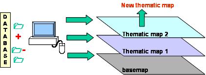
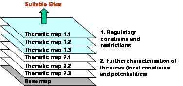
GIS are based on the simple idea of overly maps. |
|
Site selection procedure is performed through overlay maps: |
|
Geographic Information System (GIS) are computer facilities which are used to handle data referenced to spatial domain, with the capability to interrelate data sets and to carry out functions to assist their analysis and the presentation of the results. |